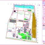
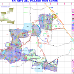
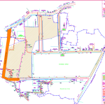
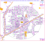
Topographical Survey is carried out by using Total Station Survey Instrument. It does capture AND locate various Topographical Features like building out line, utility buildings, sheds, internal roads, HT Tower and lines, LT poles, Transformer, sub-station, village roads, compound wall, fencing, Telephone lines, EB House, Pump House, well, bore well, ponds, bunds, lake, culvert, irrigation channels, plantation limits, trees, girth & foliage, earth pit, pavement, driveway, UG sump, lawn, storm water drain, drainage, manhole, play grounds, race tracks, and all other visible on ground features at site.
The purpose of a TOPOGRAPHICAL SURVEY is to gather survey data about the natural and man-made features of the land, as well as its elevations. From this information a three-dimensional map may be prepared. You may prepare the topographic map in the office after collecting the field data by GPS or Total Station.