Our Land Survey

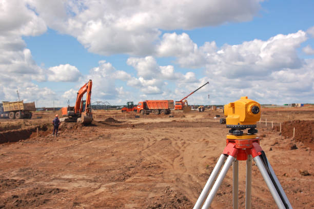
A land survey is used to map out the shape and boundaries of a piece of land. It’s an exact drawing of the dimensions of the parcel, as well as any physical features, both natural and manufactured. This is considered topography, which is the representation of the physical features of a parcel.
 
A land survey helps you in purchase of land and construction in the right direction. It helps you to decide whether the purchased land is good or bad and whether the land is flood prone or not. It will also help you to decide whether the deed shown by the seller reflects the correct size of property. Surveys are used to gather or gain knowledge in fields such as social research and demography. Survey research is often used to assess thoughts, opinions and feelings.